Precision Mapping for Smarter Decisions
High-accuracy data for infrastructure design, inspection, and documentation using advanced drone and LiDAR technology.
About EA Mapping
EA Mapping is a geospatial services company based in Florida, delivering high-accuracy data for engineering, construction, and environmental projects.
We specialize in data acquisition using drones, manned aircraft, helicopters, mobile LiDAR, SLAM systems, GNSS technology, and bathymetric sensors. Our services support civil engineers, architects, and surveyors through precise mapping, inspection, and modeling workflows.
With a proven track record since 2014, our team provides survey-grade, CAD-ready deliverables that integrate smoothly into design and construction pipelines.
From aerial surveys to ground-based mapping and underwater data collection, EA Mapping offers versatile geospatial solutions tailored to each project's needs.


Expert Mapping Services
We provide precise aerial photogrammetry and lidar scanning for exceptional infrastructure design and inspections.
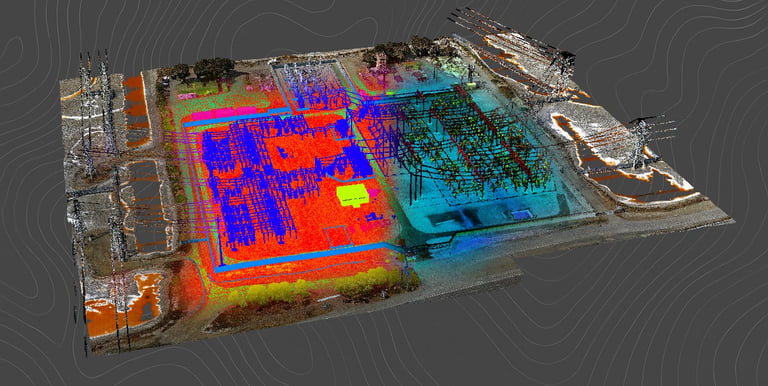
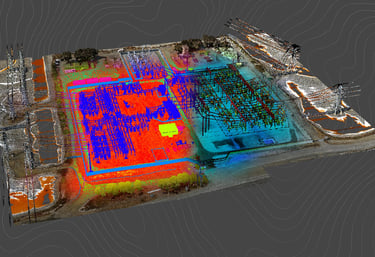

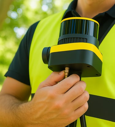
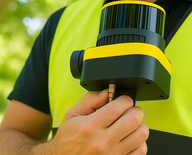
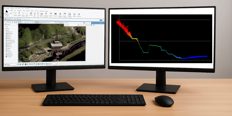
LiDAR Solutions
Accurate LiDAR point clouds captured with aerial, mobile, or SLAM systems to support engineering and 3D modeling.
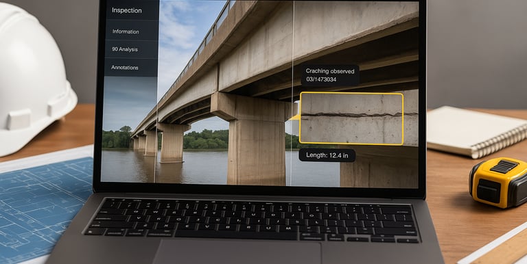
Drone Mapping and Inspections
Aerial surveys and inspections using high-resolution imagery and photogrammetry. Ideal for documentation, planning, and construction monitoring.
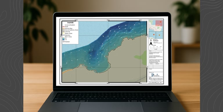
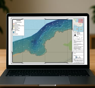
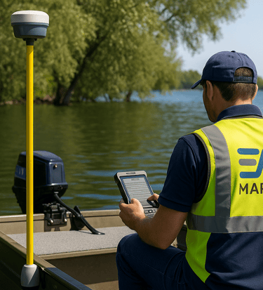
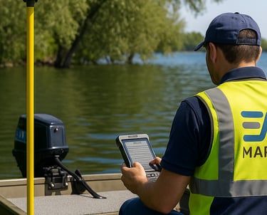
Bathymetric Surveys
Water surface mapping with GNSS and sonar technology. Designed for lakes, canals, ponds, and flood risk studies.
CAD Processing & QA/QC
Generation of CAD-ready deliverables including surfaces, contours, and plans tailored for Civil 3D, OpenRoads, and GIS workflows.

Get in Touch
Contact us for accurate geospatial and drone mapping solutions today.
EA Mapping LLC
Precision aerial & geospatial services for infrastructure and engineering needs.
+1 (954) 470-5589
© 2025. All rights reserved.