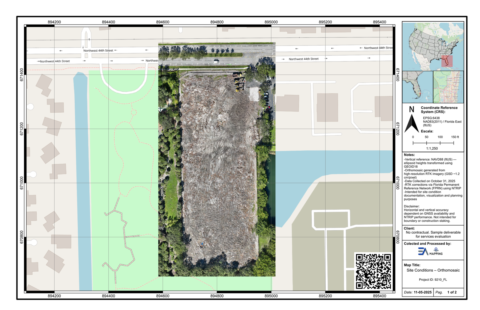
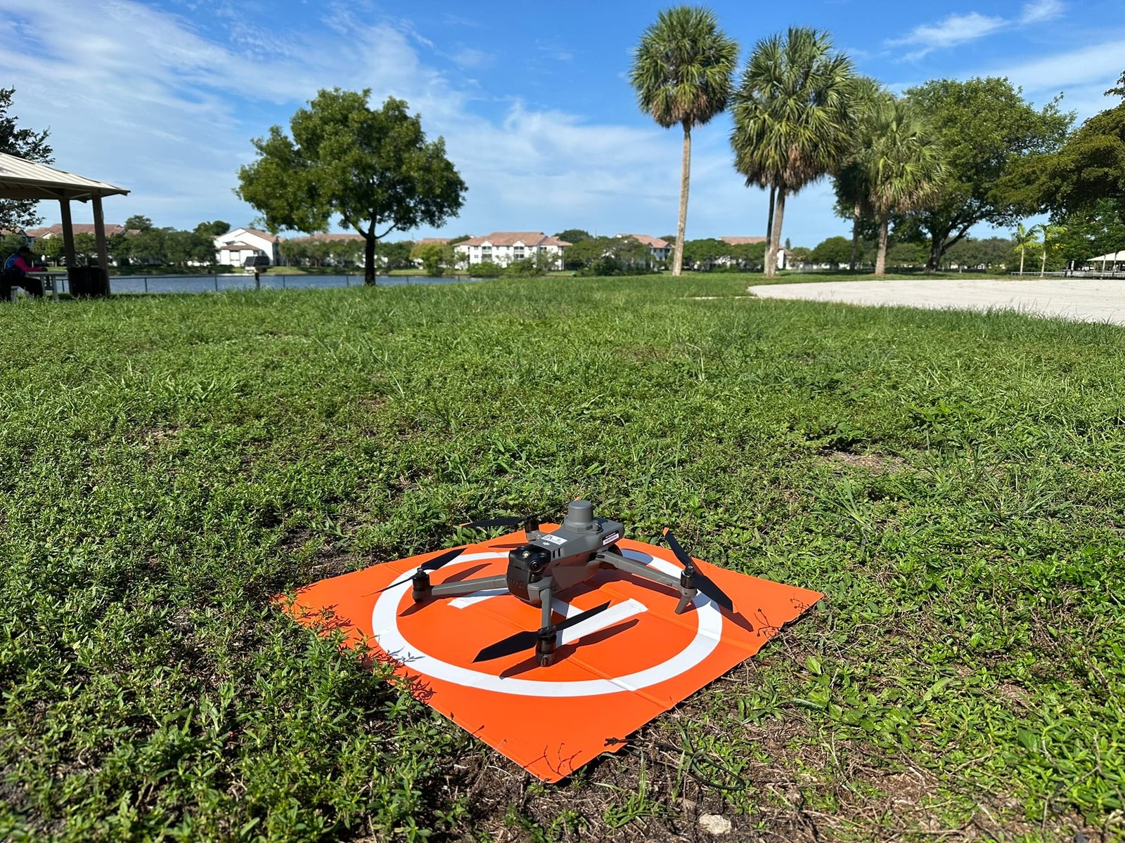
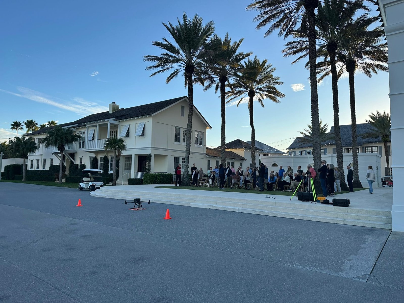
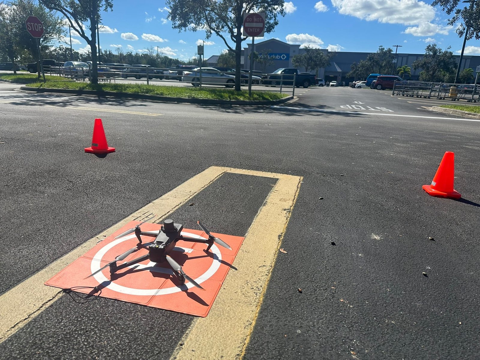
Service
High-resolution aerial imagery transformed into survey-grade spatial data through photogrammetric processing. From a geo-referenced orthophoto to a dense 3D point cloud or textured mesh model, drone mapping delivers visual and measurable intelligence about your site at a fraction of the cost of traditional methods.
Photogrammetry is the science of extracting 3D measurements from overlapping 2D photographs. When combined with a UAV platform, it enables rapid capture of hundreds or thousands of geotagged images across large areas. Structure-from-Motion (SfM) software processes these images — along with ground control point coordinates collected by our survey crew — to produce centimeter-accurate spatial datasets.
EA Mapping's FAA Part 107-certified pilots operate enterprise-grade multi-rotor and fixed-wing platforms with RTK/PPK capabilities. Every flight plan is customized to your accuracy requirements, ground sample distance (GSD), and site conditions.
EA Mapping field crews deploying multi-rotor UAV platforms for aerial mapping operations.