Aerial view of Fort Lauderdale coastline — EA Mapping geospatial survey
Survey  •  LiDAR  •  Reality Capture

Modern Survey.
Geospatial Intelligence.

Survey-grade geospatial workflows, LiDAR acquisition, and CAD-ready deliverables for engineering, development, and infrastructure projects across Florida.

Fast Response Survey-Grade Workflows Civil 3D-Ready Deliverables
0
Projects Supported
ASPRS-Aligned
Workflows
Civil 3D-Ready
Deliverables
Licensed & Insured
Florida Survey Support

What We Do

Survey & Geospatial Services

Geospatial Services

Fast response times

Survey-grade workflows

Civil 3D-ready deliverables

Florida-focused expertise

Our Difference

Why Clients Choose EA Mapping

Licensed & Insured

Florida-licensed Professional Surveyor & Mapper (PSM), fully insured. Every deliverable is sealed and legally certifiable for permitting, closing, and litigation.

ASPRS-Standard Accuracy

All LiDAR and photogrammetric products meet or exceed ASPRS Positional Accuracy Standards — the benchmark for engineering-grade geospatial data.

Civil 3D-Ready Deliverables

Surfaces, LandXML, and DWG files formatted for direct import into Civil 3D, AutoCAD, and MicroStation — zero reformatting required by your engineers.

Fast Turnaround

Standard projects delivered in 10–15 business days. Rush delivery available. We respond to quote requests within 24 hours — no waiting, no guessing.

Deep Florida Expertise

15+ years in Florida projects — flood zones, county requirements, platting rules, and FEMA regulations. We know the local landscape so your project has no learning curve.

Ready to work with a team that delivers precision, speed, and clear communication on every project?

Start Your Quote

Response within 24 hours

Who We Serve

Industries & Clients

From single-lot homeowners to large development teams, we deliver survey-grade data that moves projects forward.

Land Developers

Topographic surveys, ALTA/NSPS, and full site control packages for rezoning, platting, and entitlement submissions.

  • Preliminary site surveys
  • ALTA/NSPS title surveys
  • Subdivision & platting

Civil & Structural Engineers

Civil 3D-ready surfaces, LandXML, and as-built surveys formatted for direct import into your design workflow.

  • Design-grade topo surveys
  • LiDAR point clouds
  • As-built & construction staking

General Contractors

Construction staking, as-built surveys, and site verification to keep your project on schedule and on budget.

  • Construction staking
  • Foundation & slab surveys
  • Pre- & post-construction as-builts

Property Owners

Boundary surveys, elevation certificates, and fence surveys for residential and commercial property transactions.

  • Boundary & fence surveys
  • Elevation certificates (FEMA)
  • Tree surveys & encroachments

Municipalities & Government

Right-of-way surveys, GIS data collection, and public infrastructure mapping for cities, counties, and state agencies.

  • Right-of-way surveys
  • GIS data collection
  • Infrastructure mapping

Real Estate & Legal

ALTA surveys and boundary certifications for title companies, real estate attorneys, and commercial closing transactions.

  • ALTA for title insurance
  • Boundary for closings
  • Expert witness surveys

Applied Work

Selected Geospatial Projects

Representative examples of advanced surveying, LiDAR, bathymetric, and geospatial workflows supported by EA Mapping.

Helicopter LiDAR sensor and colorized DTM terrain model — archaeological mapping
Helicopter LiDAR

Archaeological LiDAR Mapping

Helicopter-Based Terrain Penetration Workflow

Large-area airborne LiDAR acquisition supporting archaeological terrain analysis in dense tropical environments. Advanced classification and bare-earth extraction workflows enabled identification of hidden terrain features beneath heavy vegetation canopy.

Airborne LiDAR Terrain Extraction Dense Vegetation Archaeological Analysis
Tropical coastal field site and colorized bathymetric island model
Bathymetry

Coastal Bathymetric Mapping

Georeferenced Marine Terrain Acquisition

Integrated bathymetric and geospatial workflows supporting coastal terrain analysis, underwater surface modeling, and marine infrastructure planning in tropical island environments.

Bathymetry Coastal Mapping Marine Terrain Georeferenced Data
Drone over mountain valley and colorized 3D terrain model — reservoir workflow
LiDAR + Bathymetry

Integrated Terrain & Reservoir Modeling

Hydroelectric Infrastructure Geospatial Workflow

Combined aerial LiDAR and bathymetric acquisition supporting terrain analysis, reservoir modeling, and infrastructure workflows for large-scale hydroelectric environments.

Reservoir Modeling Infrastructure LiDAR Terrain Analysis
GNSS tripod at development site and aerial orthophoto — engineering mapping
Engineering Mapping

Engineering Site Mapping

Drone Survey & Terrain Modeling Workflow

Survey-grade drone mapping and terrain modeling workflows supporting engineering design, grading analysis, and CAD-ready deliverables for development projects.

Drone Mapping Civil 3D Orthophoto Topographic Survey

Resources

Learning Center

Answers to common survey questions from Florida engineers, developers, and property owners.

FEMA / Flood

What Is an Elevation Certificate and When Do You Need One?

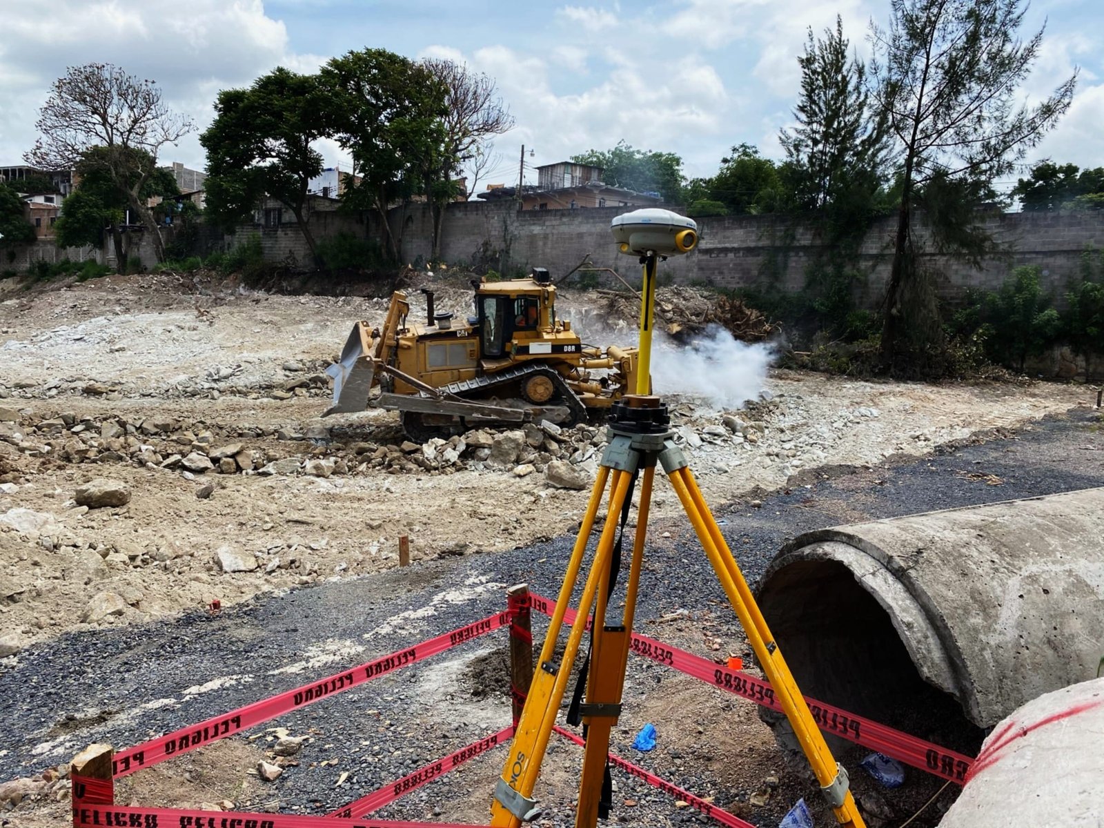
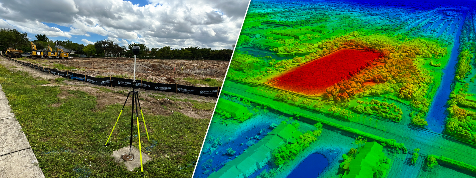
An Elevation Certificate (EC) is an official FEMA form completed by a licensed surveyor. It documents your building's elevation relative to the Base Flood Elevation (BFE) — the height floodwaters are expected to reach during a 1% annual chance flood event (commonly called the "100-year flood").

You typically need one when: applying for or renewing flood insurance under the National Flood Insurance Program (NFIP), applying for a building permit in a Special Flood Hazard Area (SFHA), or appealing your flood zone designation to FEMA.

Common uses:
  • NFIP flood insurance rate reduction
  • Building permit applications in flood zones
  • FEMA Letter of Map Amendment (LOMA)
LiDAR

LiDAR vs. Traditional Ground Survey: Which One Does Your Project Need?

LiDAR (Light Detection and Ranging) captures millions of elevation points per second using laser pulses, producing a dense 3D point cloud of your site. Traditional ground survey collects discrete points using total stations and GNSS equipment — far fewer points, but typically higher accuracy per point.

Choose LiDAR for large sites (>5 acres), complex terrain, dense vegetation, or when speed matters. Choose traditional survey for legal boundary work, small lots, construction staking, and anything requiring sub-centimeter accuracy.

LiDAR Best For

  • Large acreage
  • Dense canopy
  • Fast delivery

Ground Best For

  • Legal boundaries
  • Construction staking
  • Small lots
ALTA / Title

ALTA/NSPS Survey Requirements: What Every Commercial Buyer Should Know

An ALTA/NSPS Land Title Survey is the most comprehensive survey standard in the U.S., jointly maintained by the American Land Title Association and the National Society of Professional Surveyors. It's typically required by lenders and title insurers for commercial real estate transactions.

Unlike a simple boundary survey, an ALTA shows easements, encroachments, setbacks, utilities, access, and much more — all per a standardized Table A of optional items negotiated between buyer, lender, and surveyor.

Key Table A Items

Monuments, utilities, flood zone, zoning, parking, height restriction, easements — lenders typically require Items 1–8 plus any site-specific additions.

Topographic

How to Read a Topographic Survey (And What Your Engineer Needs From It)

Contour lines connect points of equal elevation. The closer the lines, the steeper the slope. A topographic survey shows these contours, plus spot elevations, structures, trees, and utilities — giving engineers the data to design grading, drainage, and foundations.

  • Contour interval: typically 1 ft for flat sites, 2 ft for rolling terrain in Florida
  • Datum: NAVD 88 is the standard — make sure your survey matches your permit drawings
  • Deliverable: ask for DWG + LandXML surface for Civil 3D import
Boundary

Boundary Survey vs. Survey Sketch: What's the Difference and Which Do You Need?

A boundary survey is performed by a licensed Professional Surveyor & Mapper (PSM), involves fieldwork, establishes legal corners, and results in a sealed document admissible for permits, closings, and legal proceedings.

A survey sketch (or mortgage survey) is a non-certified diagram prepared from existing records — cheaper, but not legally binding and often insufficient for permitting or dispute resolution.

Florida rule: Only a licensed PSM can legally establish, re-establish, or set boundary monuments. Survey sketches do not replace a boundary survey.
Drone / UAV

Drone Survey Accuracy: What GSD, GCP, and RTK Actually Mean for Your Data

Not all drone surveys are equal. GSD (Ground Sampling Distance) is the size of one pixel on the ground — smaller is sharper. For engineering-grade work, aim for 2–3 cm GSD. GCPs (Ground Control Points) are GPS-surveyed targets that anchor your drone data to real-world coordinates.

RTK (Real-Time Kinematic) GPS on the drone eliminates the need for many GCPs by computing centimeter-accurate position in real time. EA Mapping uses RTK-enabled drones with checkpoints to verify accuracy on every flight.

EA Mapping standard: 2 cm GSD · RTK + GCPs · ASPRS-verified accuracy report included.

Coverage

Florida Service Areas

We operate statewide — from the Florida Keys to the Panhandle. No out-of-state contractors, no subcontracting chains.

South Florida

Primary Region

Core
Miami-Dade Broward Palm Beach Monroe (Keys)

Southwest Florida

Active Coverage

Core
Collier Lee Charlotte Sarasota

Tampa Bay

Active Coverage

Core
Hillsborough Pinellas Manatee Pasco

Central Florida

Active Coverage

Extended
Orange Osceola Polk Lake Seminole

Space Coast & Treasure Coast

Active Coverage

Extended
Brevard Indian River St. Lucie Martin

North & Northeast Florida

By Request

Available
Duval St. Johns Alachua Volusia Flagler

Don't see your county? Contact us — we cover all 67 Florida counties for the right project.

Get Started

Ready to start your
next project?

Tell us about your site and we'll respond with a quote within 24 hours.

Request a Quote