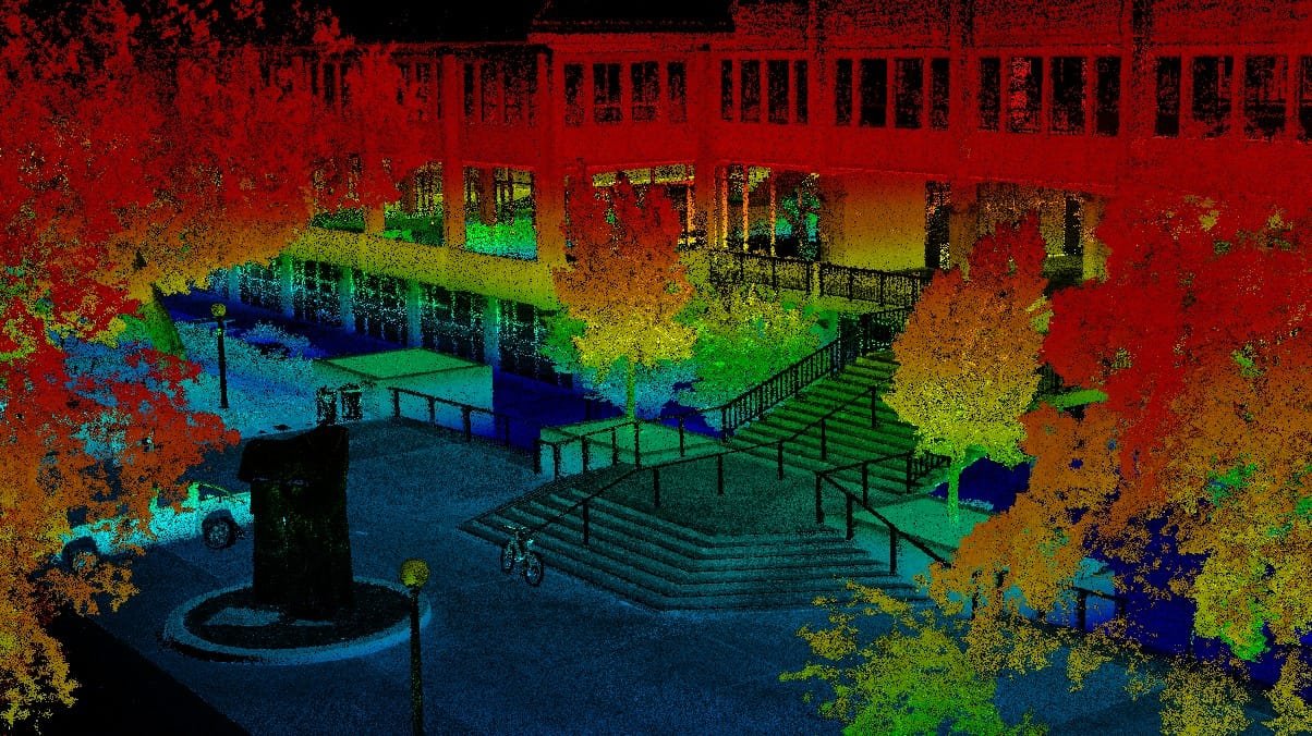
Existing Conditions for Renovation
Capture as-built geometry before design begins. Eliminate costly field change orders caused by drawings that don't reflect reality. Deliver Revit-ready point clouds to the project architect on day one.
Facility Management & CMMS
Create a persistent digital twin for maintenance teams. Locate mechanical runs, document equipment nameplate data spatially, and support CMMS integration with accurate room and asset geometry.
Historic Preservation
Document irreplaceable structures at sub-millimeter accuracy before, during, and after restoration. HABS/HAER-compliant deliverables. Archival-grade point clouds and measured drawings for preservation teams.
Construction Progress Monitoring
Weekly or phase-based scans overlaid on design models to detect deviations early. Color-coded deviation maps highlight out-of-tolerance areas before concrete is poured or walls are closed.
Infrastructure Inspection
Bridge decks, retaining walls, parking structures, and utility corridors. Extract structural dimensions, detect spalling, measure deflection, and produce engineering drawings from scan data without closing the facility.
MEP Coordination
Model existing mechanical, electrical, and plumbing systems from scan data. Identify routing conflicts before fabrication. Support retrofit and expansion projects with accurate existing-condition geometry for clash detection.